
Frocester

Wind directions:
W, WNW
Click for full site map

Location:

Site News
Experienced pilots only due to technicality of site.
Recommended 100Hrs and Pilot rating.
Novice pilots should only fly under the supervision of an experienced coach or club member who knows the site and conditions well.
Parking
Permission:
Open
Site Officer:
Dave Warren
Restrictions:
No permission to take off or land in picnic area
Lat, Long:
51.709153 N 2.299533 W
Launch height (ft)
720
Grid ref:
SO 794 012
Height TTB (ft)
250
Pilot Rating:
Club Pilot
Take off
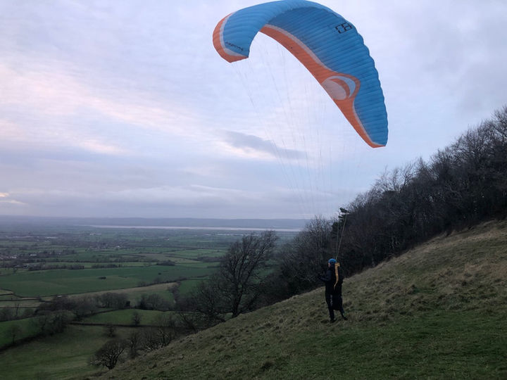
The centre of the west facing bowl.
Check true wind direction at the topograph to the South as wind in the bowl can be misleading.
Paragliders should be especially careful on launch as it is often turbulent here, especially in thermic conditions.If the wind is NW the tree line will produce turbulence.Give yourself space in front of the barbed-wire fence.
Do not launch in front of rigging hang gliders.
Local Flying
Always get a briefing from a local pilot if you have not flown here before and assess conditions carefully.
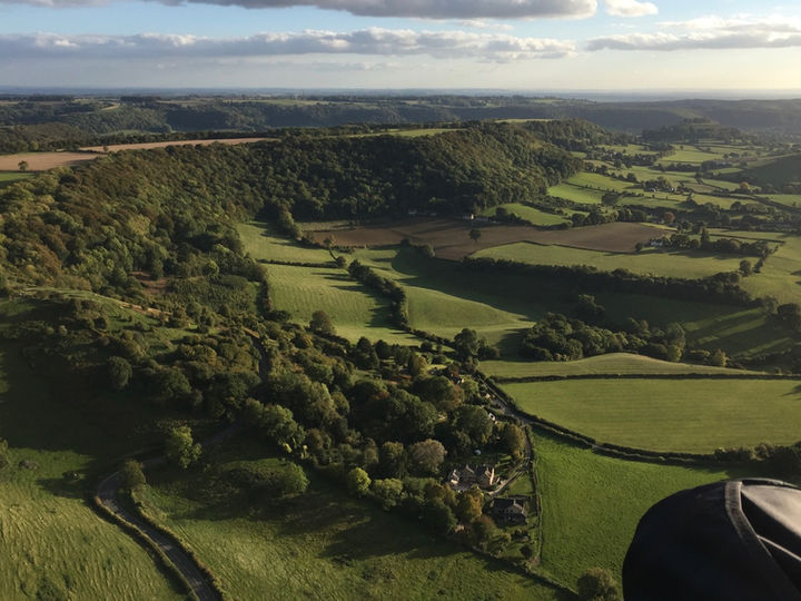
Normal flight path is to head North after launch and gain height over the trees. Give yourself plenty of clearance from the trees so if you are losing height you can glide out.
In good soaring conditions once you have attained good height you can cross the bowl to the South where the flyable ridge extends.
Keep monitoring wind direction- in Summer the wind very often backs towards Southwest in the afternoon. If the wind is WSW or NW here it can be turbulent on launch and in the air.
The area is shared with the Bristol & Gloucestershire Gliding Club. When ridge soaring to the North of take-off please be aware that gliders may be launching or on tow. When sailplane operations are happening please do not fly more than 100m North of take-off unless below ridge height or greater than 600’ ATO (1320’ASL) and keep aware of launching gliders, especially if you are thermalling. If the wind is slightly South of West your drift may bring you into conflict here so make a decision early to leave a climb if needed and clear their flightpath.
XC Flying
This a historically popular site for XC and has produced many 100+km flights. Care needs to be taken in planning to avoid Kemble, Brize Norton and Fairford airspace downwind.
Top Landing
There is no top landing. On no account should you land in any field on the East side of the main road as there is severe rotor here. We have no permission to land in the picnic area field. Paragliders can slope land on the slope to the North of take-off below the tree line and then walk back to take-off easily. For hang gliders this is a very technical landing and requires experience.
Bottom Landing
There have been no problems with paragliders landing in any of the fields below in an emergency provided you pick a field with no crop or livestock. If challenged then be apologetic and leave. Do not drive into a field to collect pilots or equipment.
The hang gliding landing field is at the foot of the hill approximately 1200m NNW from take-off and to the west side of Frocester Hill Road. If in doubt ask a local pilot or contact the sites officer.
Additional Info


